Revsand to Baggerud
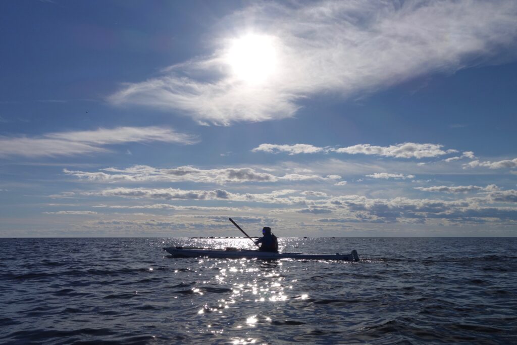
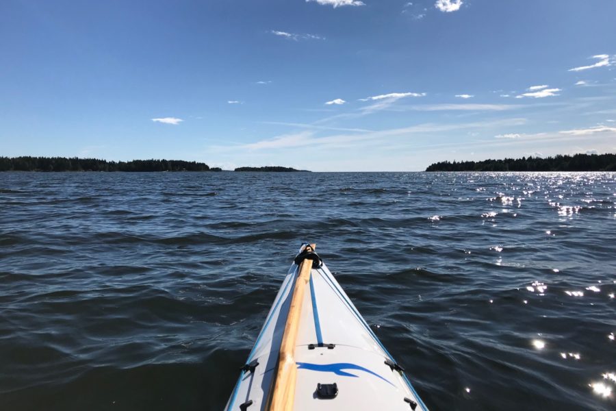
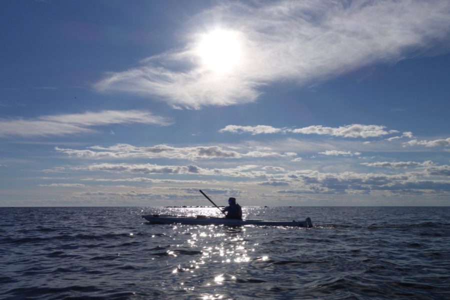
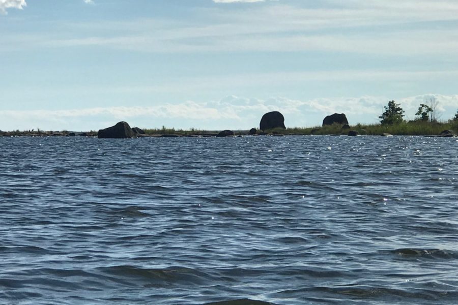
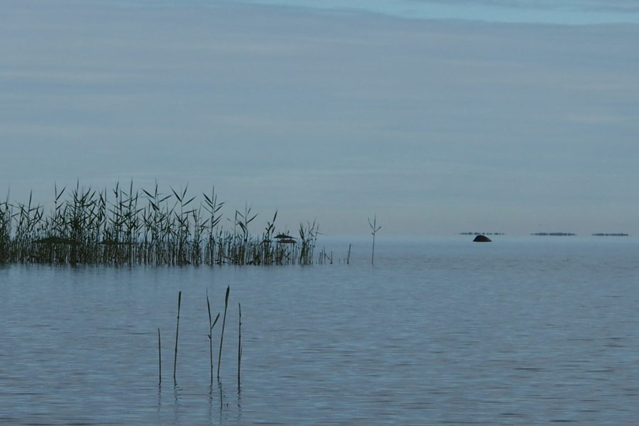
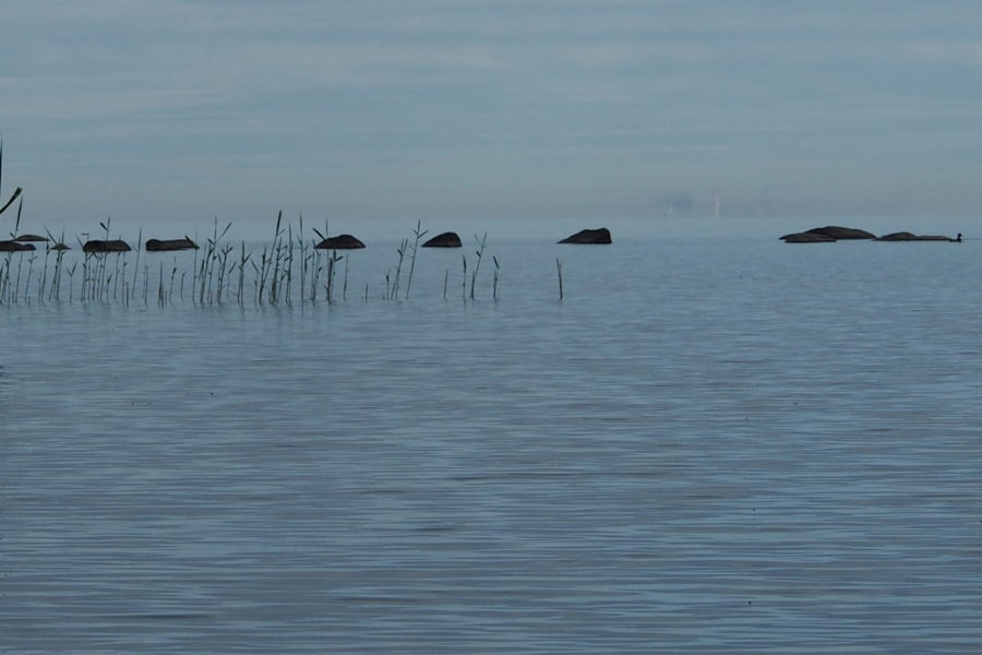
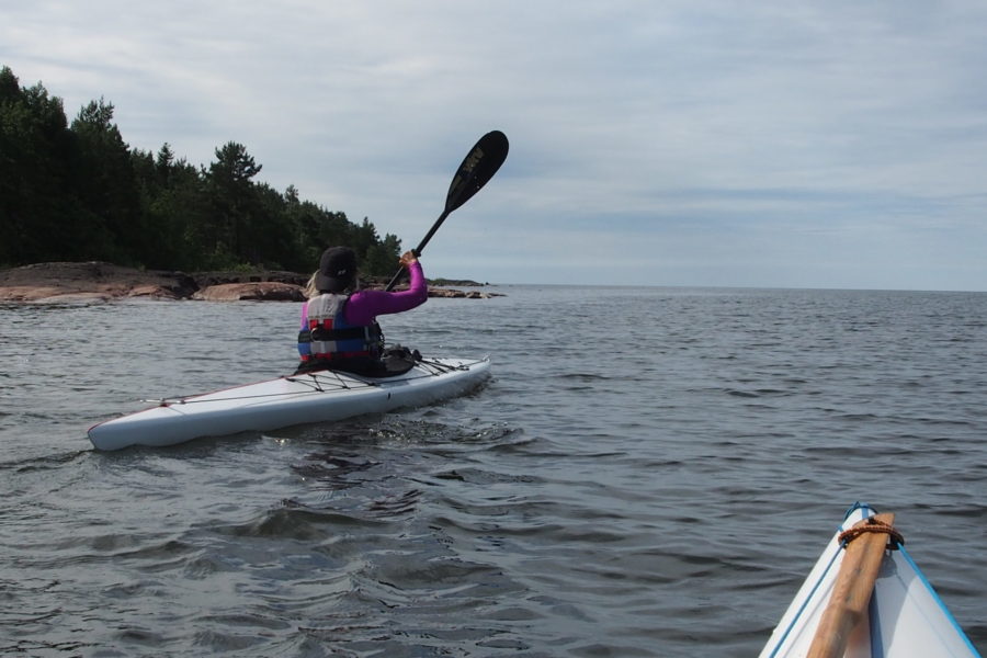
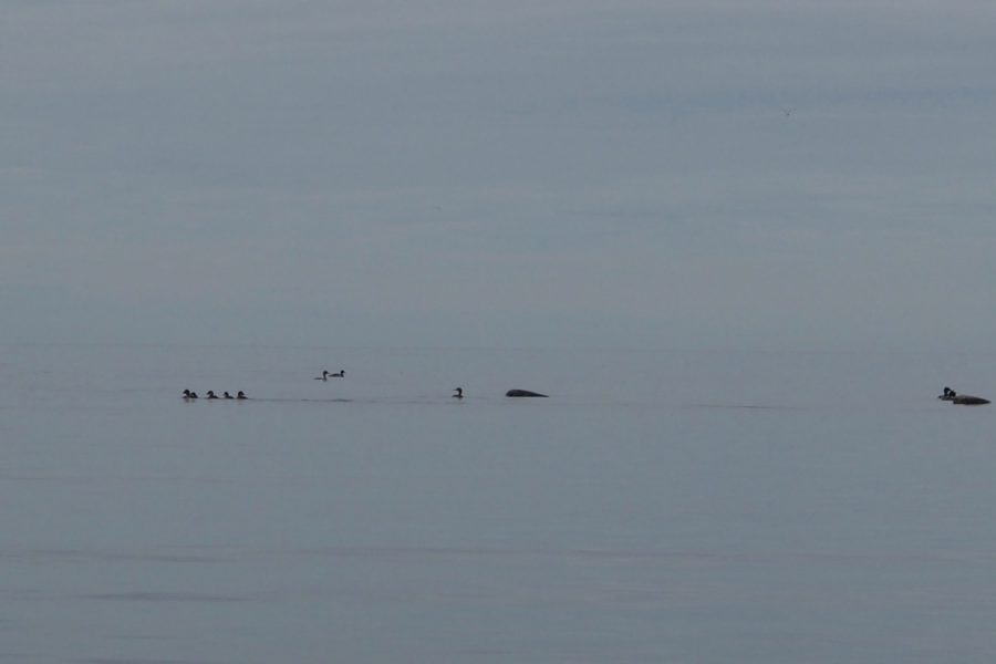
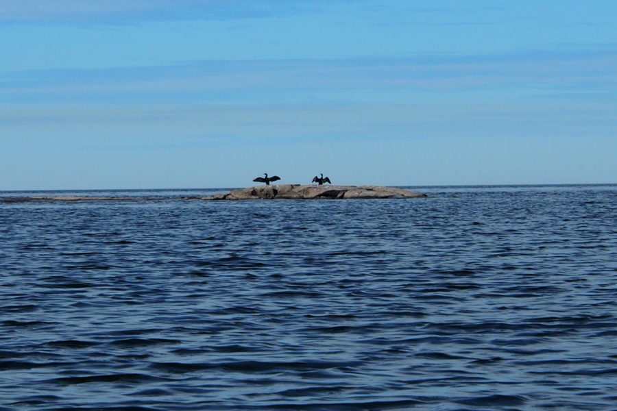
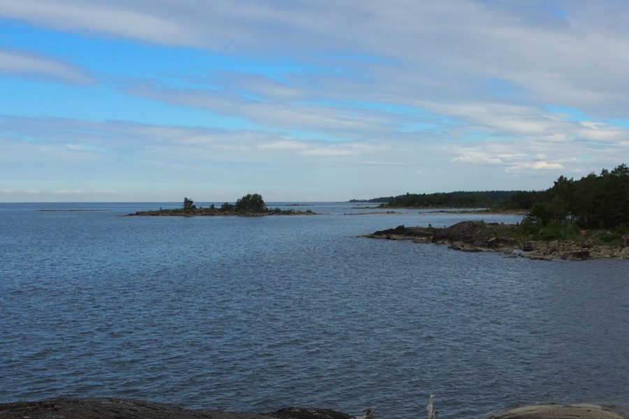
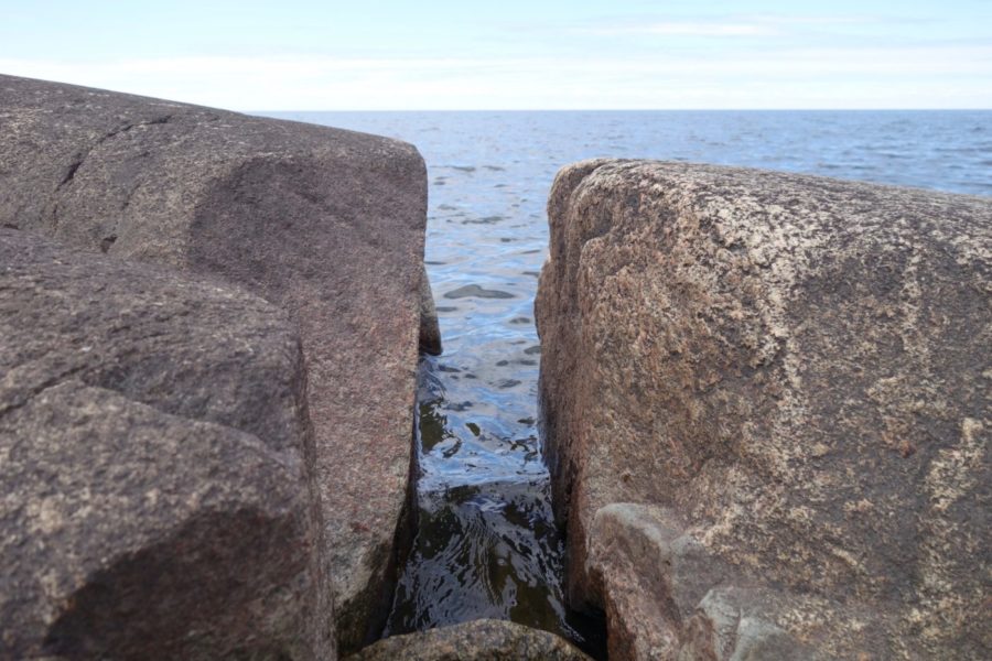
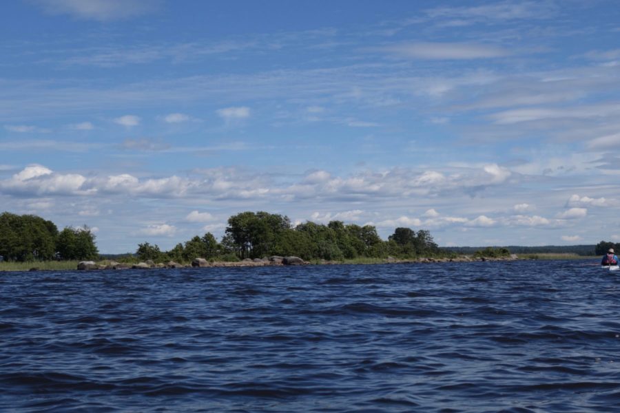
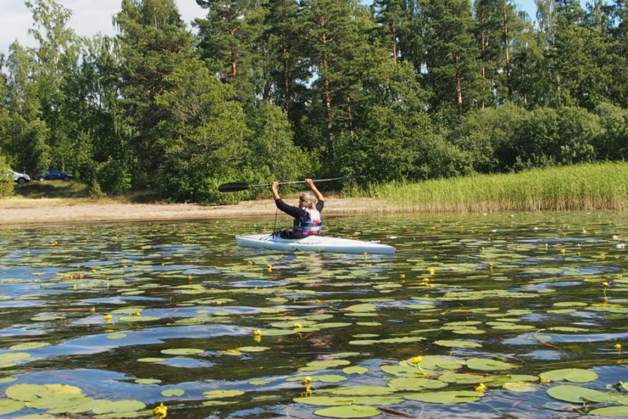
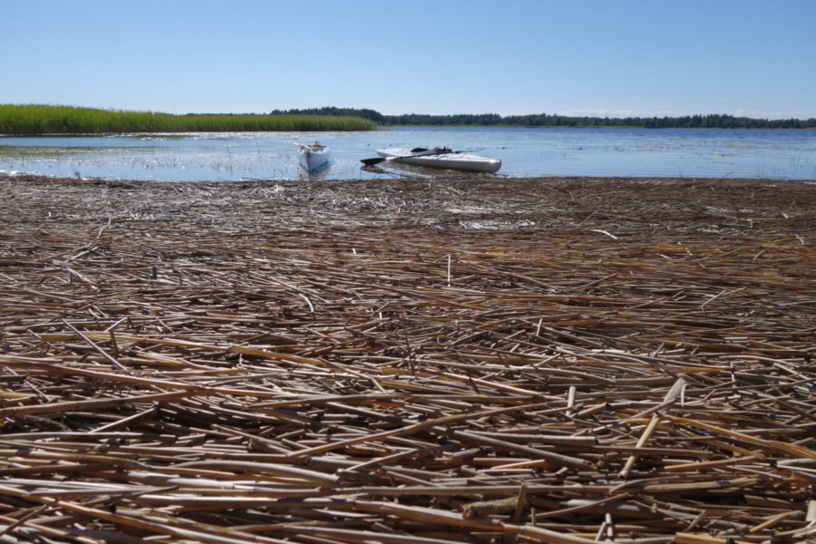
It’s midsummer which means long days and short nights. The light is fabulous, specially evenings, nights and mornings. This part follows the east coast of lake Vänern, south of Kristinehamn. After a good night’s sleep – we were ready to start paddling from Revsand Camping. A bit headwind from southwest forced us to paddle harder. Wonderful sunshine – a really hot day on shore – but now we could feel the fresh breeze sweeping over the blue waves. In the distance a row of big and small islands appeared in the horizon. On mainland the shore was scattered with summerhouses and private areas. We hoped soon to reach the islands area that also is a part of a very big protected nature area named “Nature Reserve Värmland archipelago” – for wild life and outdoor recreation purposes. Soon we passed close to the big island St Marö – covered with conifers and deciduous forest. Out in west we noticed the island Lakholmen with its lighthouse. Next passage was the islands called Raholmarna. Here we had to find our way through reed vegetation. Easily we found our way in the traces of beaver territory. The islands kept a big population of comorants. They were busy training their offsprings fish hunting in a big group formation. We left Raholmarna admiring the fantastic boulders at the southern end.
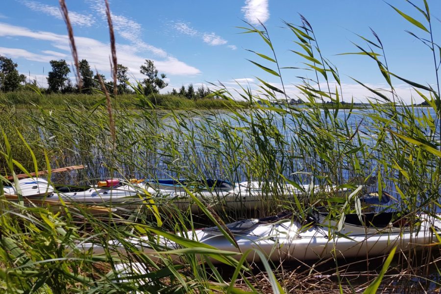
Out on open water again for 5 kilometres paddling heading southwards in direction Furholmarna and then to Baggerud. After a pleasant paddling along Furholmarna a sandy beach appeared in the distance. A quarter of an hour later we were on steady ground again. Our little caravan offered a good night’s sleep.
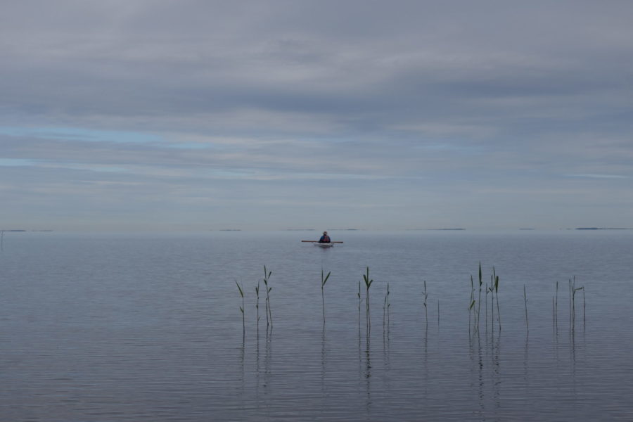
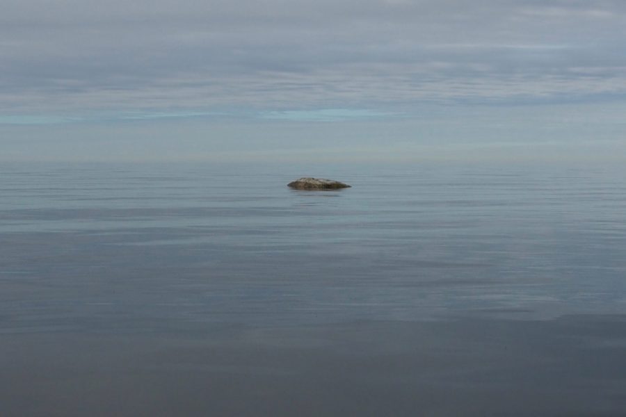
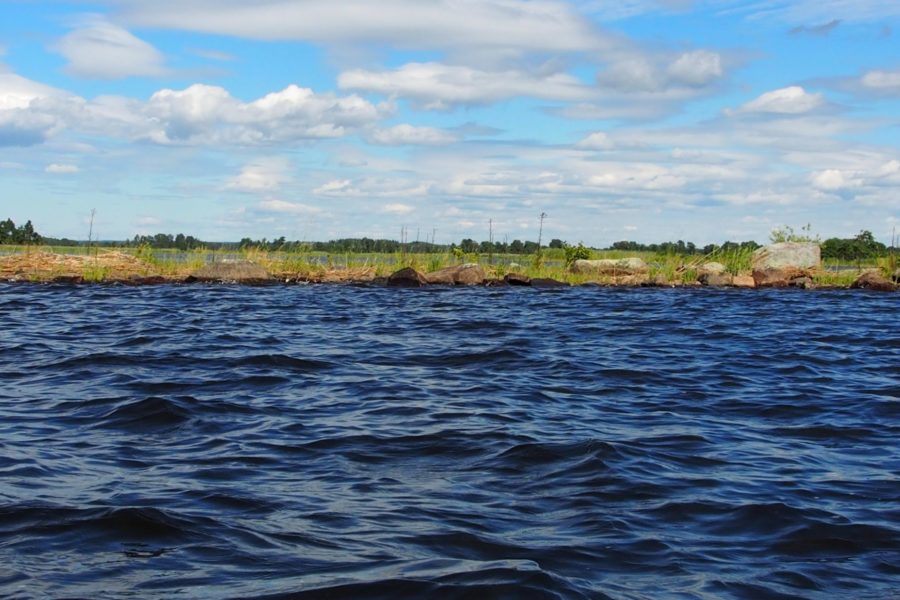
Morning had broken when we departed from Baggerud Camping beach. A wonderful morning. The early hours are perfect for photo shooting. The lake was totally calm – like a mirror – and it reflected the sky and nature around in a fabulous way. Our first part was a long distance without any islands. A rocky coastline with boulders and pebbles spread out in the water for several hundred meters off shore. It’s very important to be aware of these circumstances. If strong winds are blowing from southwest, west or northwest it will build up big waves and troubled waters when it hits this shallow rocky bottom. You have to paddle further out in deep water to avoid this danger zone. Today we were very lucky that there was almost no wind at all.
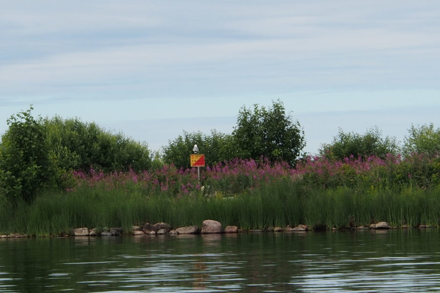
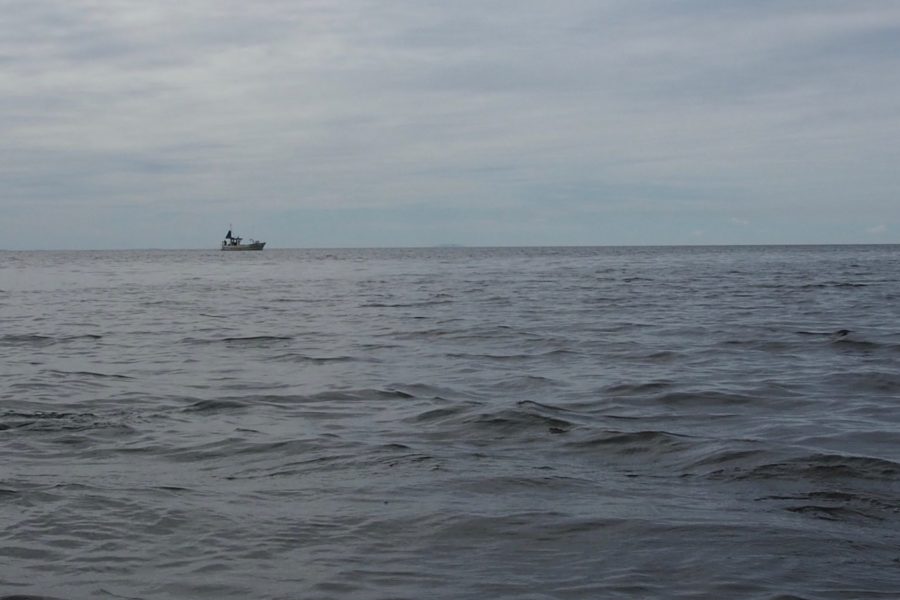
It is really exciting to search, explore and discover “virgin areas”. After some kilometers of blue horizon, clear water and no traces of human settlements a little fishing port “Medhamn” suddenly appeared by a rocky beach. Its only protection against the powers of the weather was a cape protecting against strong southwest winds and a rock pier in the harbor. This port is the most vulnerable in lake Vänern. As this part of lake Vänern almost never freezes its a perfect location for boat fishing all year round!
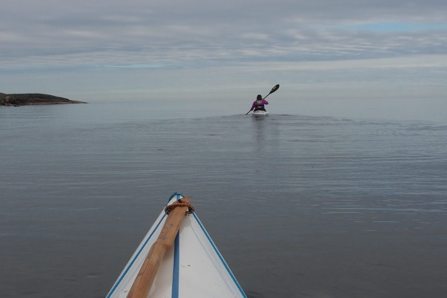
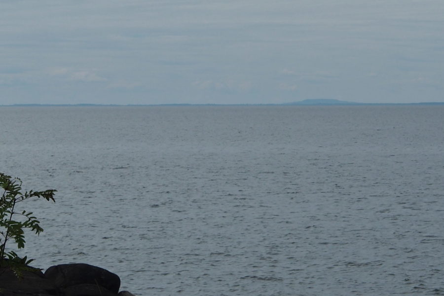
After leaving “Medhamn” we paddled southwards for miles along deserted wooded beaches and an even desolate blue water and horizon in both west and southwest. Sometimes it was difficult to distinguish the sky and the “sea”. A wonderful calmness appeared in us. Silent sliding on a blue ocean we left miles after miles behind us towards infinity. Suddenly an island or a big mountain in the far south appeared. It seemed like a miracle floating on the water. The nearer we came it grew bigger and bigger and soon we realized that it was Kinnekulle mountain (306 m above sea level). You can observe this volcanic mountain profile from huge distances around lake Vänern – important for navigation etc.
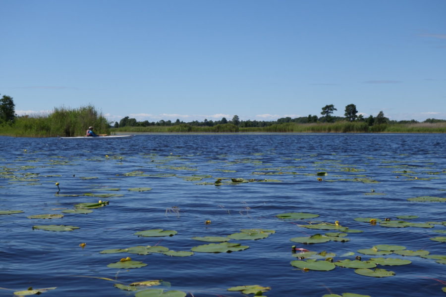
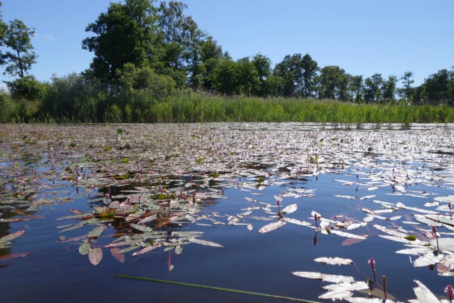
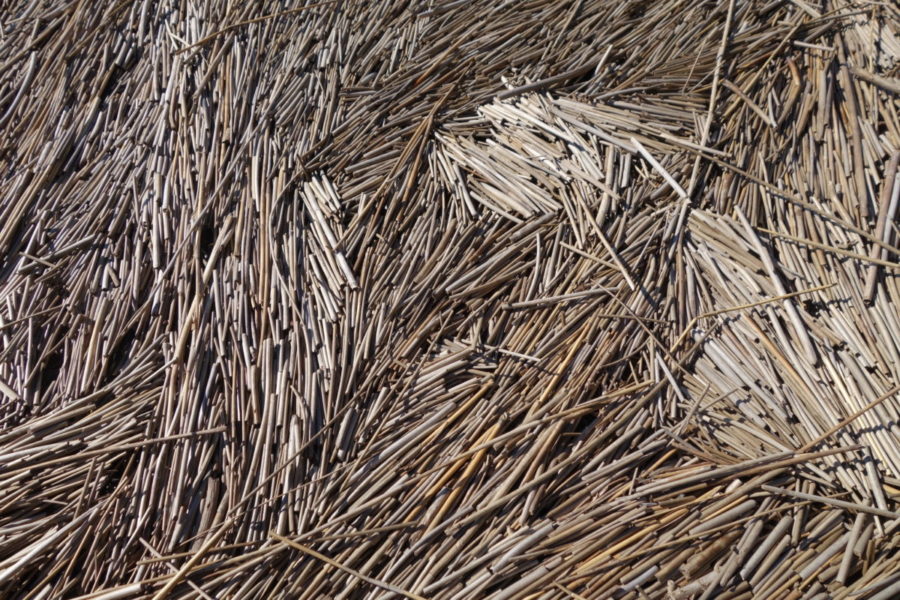
After nice lunch and rest on a little island, we reached the end part of the day “Nötön-Åråsvikens” nature reserve with its vast reed area and a water landscape scattered with end moraines -remnants from the last ice edge. The moraines formed islands. This area has a lot of nesting birds. We saw sea eagle, marsh harrier and hobby.
We really got lost in the labyrints of reeds and end moraines. Thanks our Gps we finally and luckily reached our goal “Kolstrandsviken” after more than 30 km paddling.

